// 01 · CONTRAST
Subtle contrast must remain visible.
Geospatial imagery hides target signatures in fractional luminance differences. A drifted display erases those differences invisibly.
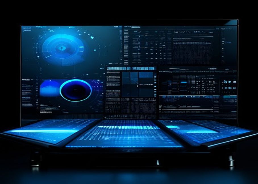
PerfectEPD calibrates, verifies, and maintains display accuracy for geospatial intelligence, mapping, and defense visualization — where subtle contrast and fine spatial detail must remain trustworthy.

Geospatial imagery hides target signatures in fractional luminance differences. A drifted display erases those differences invisibly.
Topographic contour, thermal bands, and panchromatic data depend on consistent grayscale response from black floor to peak white.
Multispectral, false-color, and SAR products require predictable color separation. Drift collapses categories and corrupts decisions.
Earth observation and high-resolution satellite analysis. Calibrated grayscale and color preserve fine ground detail across panchromatic and multispectral products.
Drone and UAV imagery review for surveillance, agriculture, infrastructure, and ISR. Accurate tone reproduction across hours of flight footage.
Cartographic display QA for elevation, contour, hillshade, and DEM products. Trustworthy grayscale across full dynamic range.
GEOINT and defense visualization across analyst workstations, briefing rooms, and TOCs. Multi-site fleet QA via RemoteQA integration.
PerfectEPD supports NGA (National Geospatial-Intelligence Agency) targets for display calibration and verification — the foundation for analyst workstations, briefing displays, and high-stakes interpretation.
Capture luminance, white point, and grayscale response with SmartSensor S1/S2 or supported colorimeter.
Select NGA target, custom GSDF, or domain-specific profile (mapping, multispectral, SAR).
LUT applied via GPU, display, or driver. ICC profile generated and installed for the OS.
NGA target pass/fail, Delta-E verification, and full PDF report for the workstation.
Recurring scheduled tests; sync with RemoteQA across the facility or operational network.
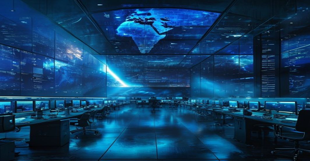
Analyst workstations. Briefing room walls. Forward-deployed laptops. Multi-site facilities. PerfectEPD scales with the mission — verified, documented, and centrally managed.
PerfectEPD integrates with QUBYX SmartSensor S1 (built-in OEM module) and SmartSensor S2 (external pro colorimeter), plus a broad range of industry-standard third-party measurement devices.
Built-in micro colorimeter for OEM display integration. Background verification and recalibration without operator action.
View S1 specsExternal professional colorimeter. Contact & distance measurement for displays, briefing screens, and reference workstations.
View S2 specsFor classified or restricted deployments, contact our procurement team.
PerfectEPD is specialized display calibration and verification software for geospatial intelligence, defense visualization, mapping, and high-resolution imagery workflows where subtle contrast, grayscale depth, color separation, and fine spatial detail must remain trustworthy.
Yes. PerfectEPD supports NGA (National Geospatial-Intelligence Agency) targets for calibration and verification used by defense, intelligence, and mapping organizations.
Yes. PerfectEPD is optimized for high-resolution geospatial imagery, drone aerial review, and topographic visualization, where preserving fine detail and grayscale depth is essential to interpretation.
PerfectEPD integrates with QUBYX SmartSensor S1 (built-in) and SmartSensor S2 (external professional colorimeter), plus most industry-standard third-party colorimeters and spectrophotometers.
Yes. PerfectEPD integrates with QUBYX RemoteQA to provide centralized monitoring, scheduling, failure tracking, and compliance reporting across multi-site geospatial and defense facilities.
PerfectEPD can be deployed on isolated and offline workstations. Contact QUBYX about deployment within classified, air-gapped, or restricted-network environments.
Schedule a technical briefing, evaluate against your existing geospatial workflow, or talk to QUBYX about multi-site rollout and restricted deployments.
Free trial
Pick a product and we will email you a download link.
Free trial ·