// 01 · CONTRAST
Subtiler Kontrast muss sichtbar bleiben.
Geodatenabbildungen verstecken Zielsignaturen in Bruchteilen der Leuchtdichte-Unterschiede. Ein driftender Bildschirm löscht diese Unterschiede unsichtbar.
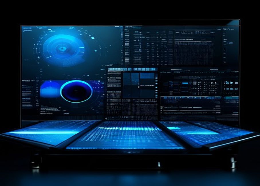
PerfectEPD kalibriert, überprüft und erhält die Anzeigengenauigkeit für Geospatial Intelligence, Kartografie sowie Verteidigungsvisualisierung – dort müssen subtile Kontraste und feine räumliche Details verlässlich bleiben.

Geodatenabbildungen verstecken Zielsignaturen in Bruchteilen der Leuchtdichte-Unterschiede. Ein driftender Bildschirm löscht diese Unterschiede unsichtbar.
Topografische Konturen, thermische Bänder und panchromatische Daten hängen von einer konsistenten Graustufenreaktion vom schwarzen Boden bis zum Spitzenweiß ab.
Multispectral, false-color- und SAR-Produkte erfordern eine vorhersehbare Farbsortierung. Drift lässt Kategorien zusammenfallen und verfälscht Entscheidungen.
Erdbeobachtung und hochauflösende Satellitenanalyse. Kalibrierte Graustufen und Farben bewahren feine Bodenstrukturen über panchromatische und multispektrale Produkte hinweg.
Drohnen- und UAV-Bildmaterialüberprüfung für Überwachung, Landwirtschaft, Infrastruktur und ISR. Genaue Tonwiedergabe über Stunden von Flugaufnahmen hinweg.
Kartografische Display-QA für Elevation, Kontur, Hillshade und DEM-Produkte. Zuverlässiges Graustufenbild über den gesamten Dynamikbereich.
GEOINT- und Verteidigungsvisualisierung über Analystenarbeitsstationen, Briefingräumen und TOCs. Multi-Site-Flotten-QA via RemoteQA-Integration.
PerfectEPD unterstützt NGA (National Geospatial-Intelligence Agency) Ziele für Displaykalibrierung und Verifizierung — die Grundlage für Analystenarbeitsstationen, Briefing-Displays und hochspezialisierte Interpretationen.
Erfassen Sie Luminanz, Weißpunkt und Graustufenreaktion mit SmartSensor S1/S2 oder unterstütztem Kolorimeter.
Wählen Sie NGA-Ziel, benutzerdefinierten GSDF oder domänenspezifisches Profil (Mapping, Multispektral, SAR).
LUT angewendet über GPU, Display oder Treiber. ICC-Profil erstellt und für das OS installiert.
NGA-Ziel-OK/Nicht OK, Delta-E-Verifikation und vollständiger PDF-Bericht für den Workstation-Einsatz.
Wiederkehrende geplante Tests; Synchronisierung mit RemoteQA im gesamten Gebäude oder Betriebsnetzwerk.
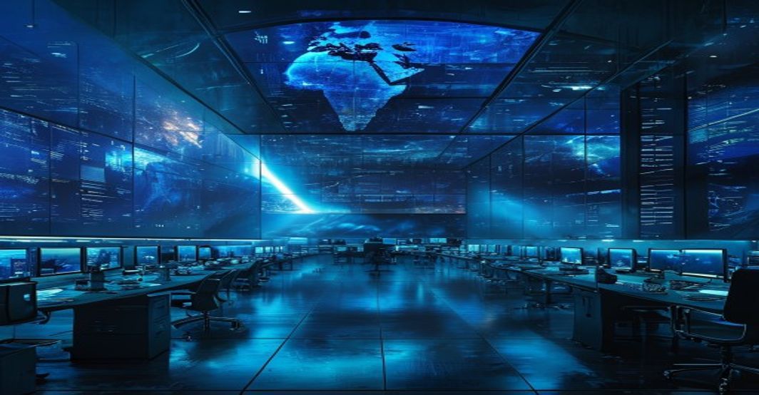
Analysten-Arbeitsstationen. Briefing-Raum-Wände. Vor-Ort bereitgestellte Laptops. Mehrstandortige Einrichtungen. PerfectEPD skaliert mit der Mission — verifiziert, dokumentiert und zentral verwaltet.
PerfectEPD integriert sich mit QUBYX SmartSensor S1 (integriertes OEM-Modul) und SmartSensor S2 (externes Profi-Farbmessgerät) sowie einer breiten Palette industrienormierter Messgeräte von Drittanbietern.
Integriertes Mikro-Farbmessgerät für OEM-Displayschnittstellen. Hintergrundverifizierung und Neukalibrierung ohne Bedienereingriff.
Ansicht S1-SpezifikationenExternes professionelles Kolorimeter. Kontakt- und Distanzmessung für Displays, Briefing-Bildschirme und Referenzarbeitsstationen.
S2-Spezifikationen ansehenFür klassifizierte oder eingeschränkte Bereitstellungen, kontaktieren Sie unser Beschaffungsteam.
PerfectEPD ist spezialisierte Software zur Kalibrierung und Verifizierung von Displays für Geospatial-Intelligence, Verteidigungsvisualisierung, Kartierung und Hochauflösungs-Imagery-Workflows, bei denen subtile Kontraste, Graustufen-Tiefe, Farbunderscheidung und feine räumliche Details vertrauenswürdig bleiben müssen.
Ja. PerfectEPD unterstützt NGA (National Geospatial-Intelligence Agency) Targets für Kalibrierung und Verifikation, die von Verteidigungs-, Geheimdienst- und Kartografierungsorganisationen verwendet werden.
Ja. PerfectEPD ist optimiert für hochauflösende geospatiale Bilder, Drohnen-Aerobegutachtung und topografische Visualisierung, bei denen die Erhaltung feiner Details und Graustufen-Tiefe für die Interpretation wesentlich ist.
PerfectEPD integriert sich mit QUBYX SmartSensor S1 (integriert) und SmartSensor S2 (externes professionelles Farmessgerät), sowie mit den meisten branchenüblichen Drittanbieter-Farbbemessgeräten und Spektralphotometern.
Ja. PerfectEPD lässt sich mit QUBYX RemoteQA integrieren, um zentralisierte Überwachung, Planung, Fehlerverfolgung und Compliance-Berichterstattung über mehrstandorte Geospatial- und Verteidigungsanlagen hinweg bereitzustellen.
PerfectEPD kann auf isolierten und offline arbeitenden Arbeitsstationen eingesetzt werden. Kontaktieren Sie QUBYX bezüglich der Bereitstellung in klassifizierten, luftgespeisten oder eingeschränkt vernetzten Umgebungen.
Vereinbaren Sie eine technische Einweisung, bewerten Sie sie gegen Ihren bestehenden Geodaten-Workflow oder sprechen Sie mit QUBYX über mehrstöckige Installationen und eingeschränkte Bereitstellungen.
Kostenlose Probeversion
Wählen Sie ein Produkt und wir senden Ihnen per E-Mail einen Download-Link.
Kostenlose Probeversion ·